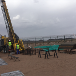

All land survey services are conducted by our qualified and professional surveyors using our instrumentation and software inventory.
At AGC, we realize and fully understand the importance of survey data we deliver to our clients which is a vital input data into the project design and planning phases. High quality survey data in terms of accuracy and completeness is guaranteed via faultless and well defined process of clearly identifying project objectives, professionally supervised field survey and mapping procedures, and more importantly, well established quality control and assurance processes throughout the entire project.
All our deliverables are painstakingly tested and checked in accordance with highest professional standards.
Our land survey services include:
- Topographical Survey
- Boundary and Setting out Survey
- Roads Survey and Cut and Fill Calculations
- Quantity Survey (Stockpile measurements)
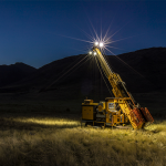
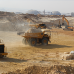
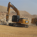
- Mine/Quarry Survey
Our instruments:
- Topcon Total Station
- Leica Geosystems GNSS and RTK